
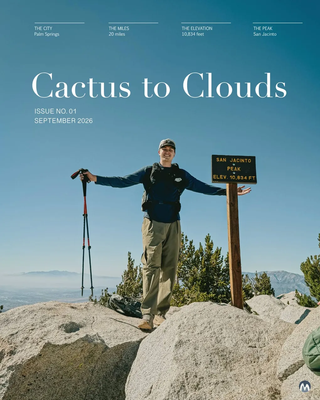
Cactus to Clouds
So my friend and I had the bright idea to hike one of the hardest hikes in America. At the time I knew nothing about Cactus to Clouds, just that it had a cool name, and it was right where his bachelor party would be. Flash forward a few months, after a few weighted backpack stair stepper sessions, basketball and squash fitness, and the occasional sauna I was ready to go. Living in New York City, and for some reason always having rain on the weekends doesn’t give you that many real life training opportunities nearby.
For the details, this hike is around 20 miles, with about 12,000 feet of elevation gain, and is located in the desert. It’s also one of the more unique hikes where instead of going all the way back down from where you started, there is the Palm Springs Aerial Tramway at Long Valley near the top of the mountain at 8,400 feet that will take you down. So basically, it is all uphill to the peak, and the going back down about 5.5 miles. Generally the best time to hike this trail is the spring, and the fall window, however our plan was to go right at the beginning of September, as a warmup before his bachelor party in Palm Springs. Luckily for us, the weather was significantly cooler than the previous weekend at a cool 98 degrees fahrenheit rather than the 115 degree plus heat that hit right before.
I had never done any hike of this size before. Most recently, I had done the Skyline Loop trail at Mt. Rainier which was only 5.5 miles, but have done most of the hikes around Seattle, but nothing more than 12 miles. The idea of 20+ miles is basically a marathon, plus the amount of elevation, and being in the desert is daunting. Luckily, I am happy to just go up, since my bad knees (two meniscus tears) would definitely prefermore up over down. And this time, I am actually preparing seriously, since I do value my life.
Planning
For the absolute best guide we extensively read The Hiking Guy’s Guide, which I would recommend if you are planning to do this hike.
We ended up getting a bunch of snacks to prepare for the hike, with the idea of taking a water break every 15 minutes, and a snack break every 30, with the idea to get about 50g of carbs every hour since we are two 6’4“ guys who are always hungry. And with that, we carb-loaded on some Thai food, and tried to go to sleep at a reasonable hour, since we decided to play it extremely safe, and start around 2am. We also checked out the trailhead which started at the Art Museum, which was a short walk from our hotel. We actually hiked about 5 minutes of it just to get an overall feel for the hike, and we were a little nervous so we thought this would help.
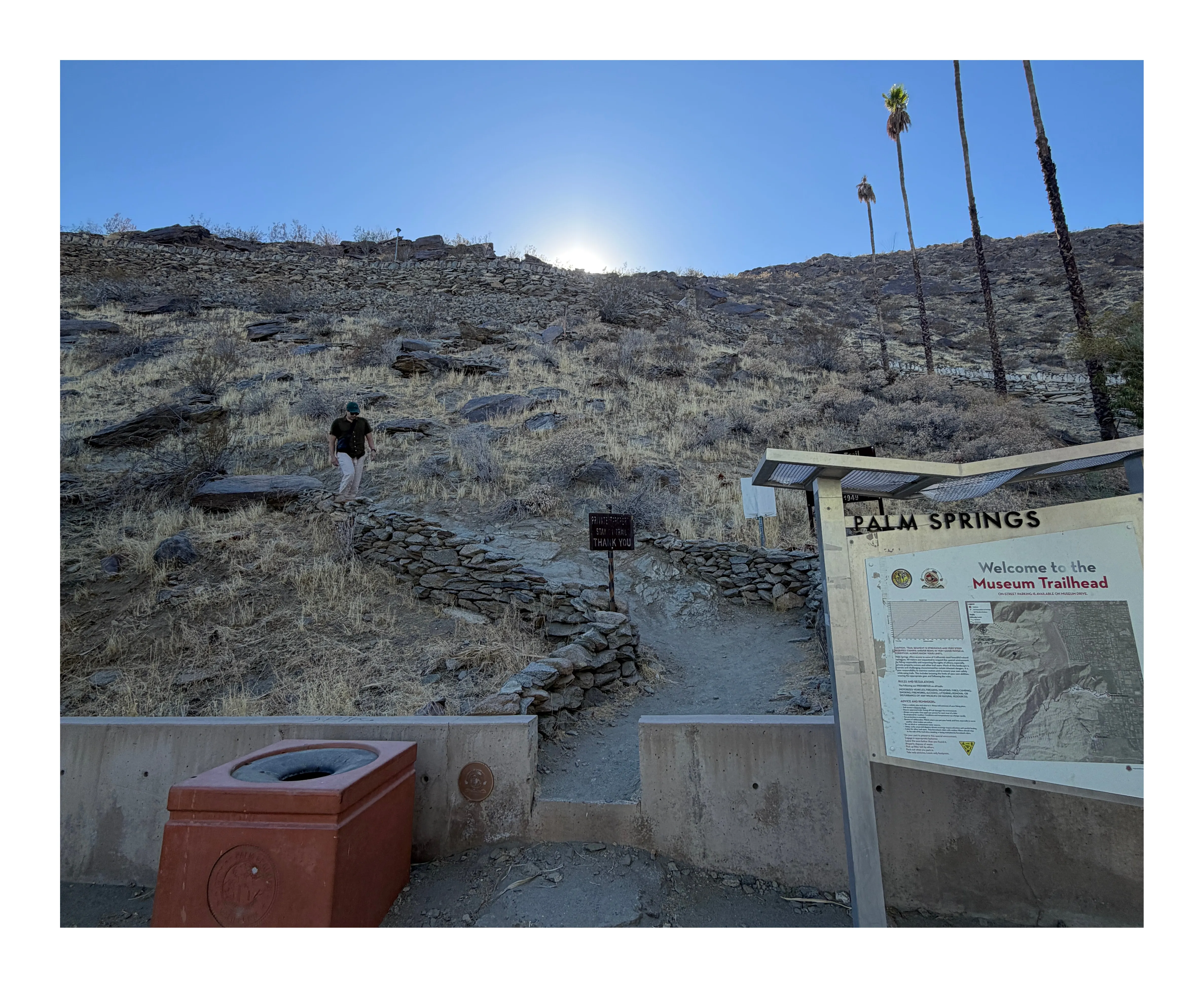 The Cactus to Clouds trailhead near the Palm Springs Art Museum, scouted the evening before the hike
At around 1:30am we arose, some better than the other (more on that later). With our bags already packed, it was mostly just hyping ourselves up, and double checking that we had everything. We made sure to chug electrolytes and have about 5L of water each, and then we were off.
Gear
For gear, I will list out what I packed. My bag was a little over 20 lbs which was not fun at all.
- Inside the Pack:
- Hiking Backpack (Peak Design Outdoor 45L pack)
- 5L of water (2L camelbak, 20 ounce stainless steel water bottle, 50 ounce water bottle, and a 20 ounce water bottle)
- Snacks: Huma Gels, Clif Bar Gummies, Energy bars, and Dates (50g of carbs per hour)
- Electrolytes: Thorne electrolyte packs + Liquid I.V.s (x10)
- Cameras: Fujifilm X-T4 with Sigma 10-18mm lens, and an Insta360 camera w/ pole
- Camera Gear: mini handheld tripod for Fujifilm, RODE Deadcat mic
- Peak Design Capture Clip to hold camera
- Spare shell (in case it got cold)
- The Fit:
- Head Lamps
- North Face Hiking Boots
- Black Diamond Hiking Poles
- Merino Wool Socks and underwear
- Adidas Trail Hiking Pants
- Smartwool Long Sleeve Top
- Seahawks Hat + Nike Shades for the sun protection and vibes
Out of everything, I have no regrets, with what I brought. I would consider a lighter hiking backpack, as the Peak Design one is quite heavy. But a backpack that has a frame, and can relieve your shoulder and back tension is a big positive.
Bliss
It’s really a surreal feeling to be up at 2am, and walking in the desert with a headlamp and 20+ lb backpack. Your body really has no idea for what was in store. The first part of the hike was really fun. We had scoped out the trailhead the day before, so the start was something we had already done. The climb to start was a lot of fun, I had never hiked in the dark before, and it was all so new and exciting. Felt like Bear Grylls trying to survive the night. Whenever we, stopped we would look out and see the lit up city of Palm Springs. And the higher we got the smaller it became, and the brighter the stars shone.
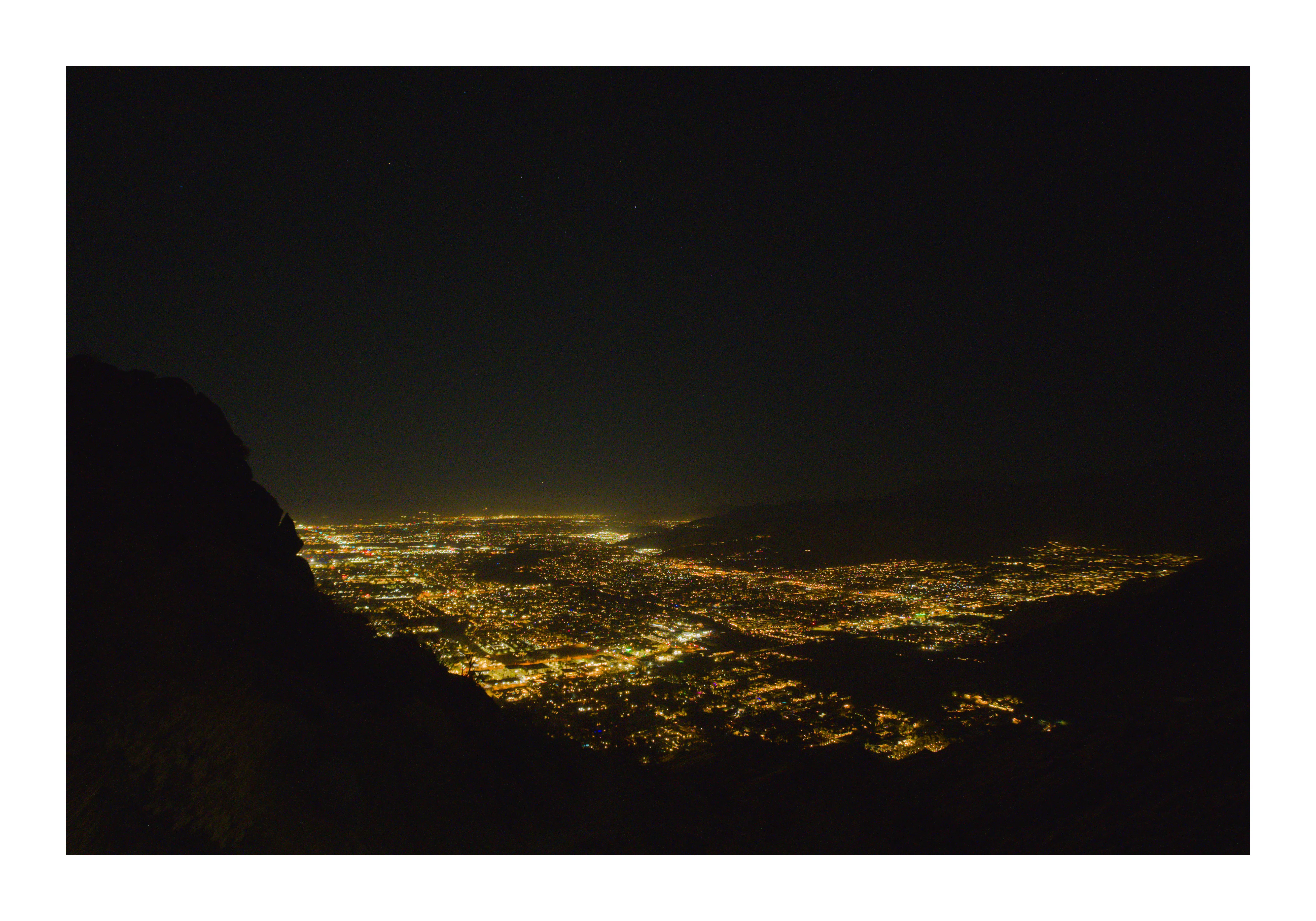 Pure darkness, and the lights of Palm Springs
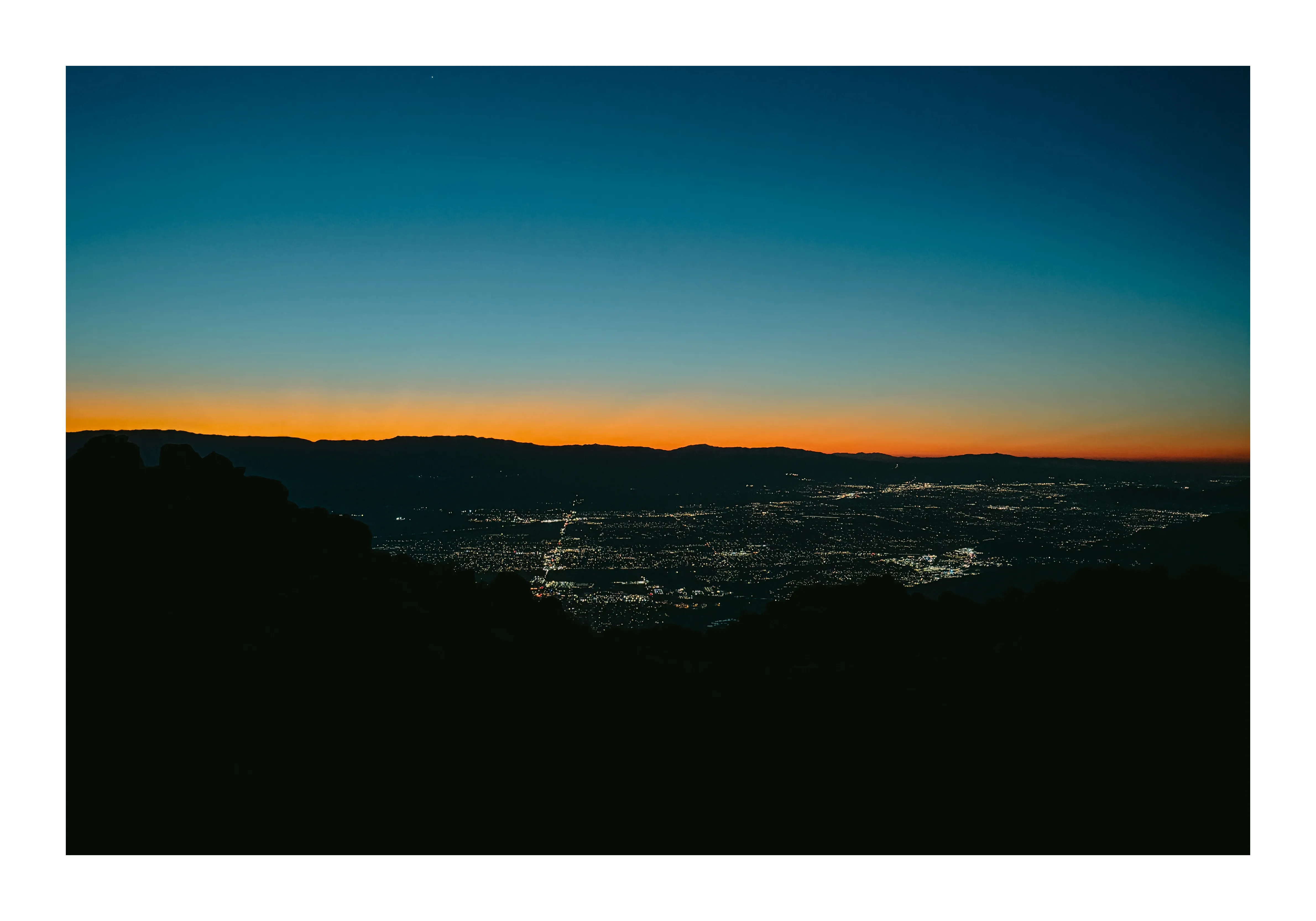 Pretty sunrise over the desert
We had downloaded a GPX file on Strava to map out the hike, since this trail is only maintained by hikers, and there is no official way up. There were definitely a few moments of confusion, but the rocks were well marked with white dots if you looked carefully enough. About an hour or so in, we ended up crossing paths with these two guys who looked like they were still in their teens. And they were doing Cactus to Clouds to Cactus (C3), which is actually insane. They didn’t look too beat up, so that was a good sign for us novice hikers. Once the sun started to rise, and we no longer needed our lights, it felt like a totally brand new hike.
There were two stop points where we were to gauge how we were feeling, and they were the help boxes. The first one was literally just trash inside of it, and the second one… well it was the same but even more trash inside. So don’t count on these boxes to save any lives. By the second site, we were starting to feel it, but we could see the top and faintly make out where the tram was, so having the destination in sight, no matter how daunting, was still helpful.
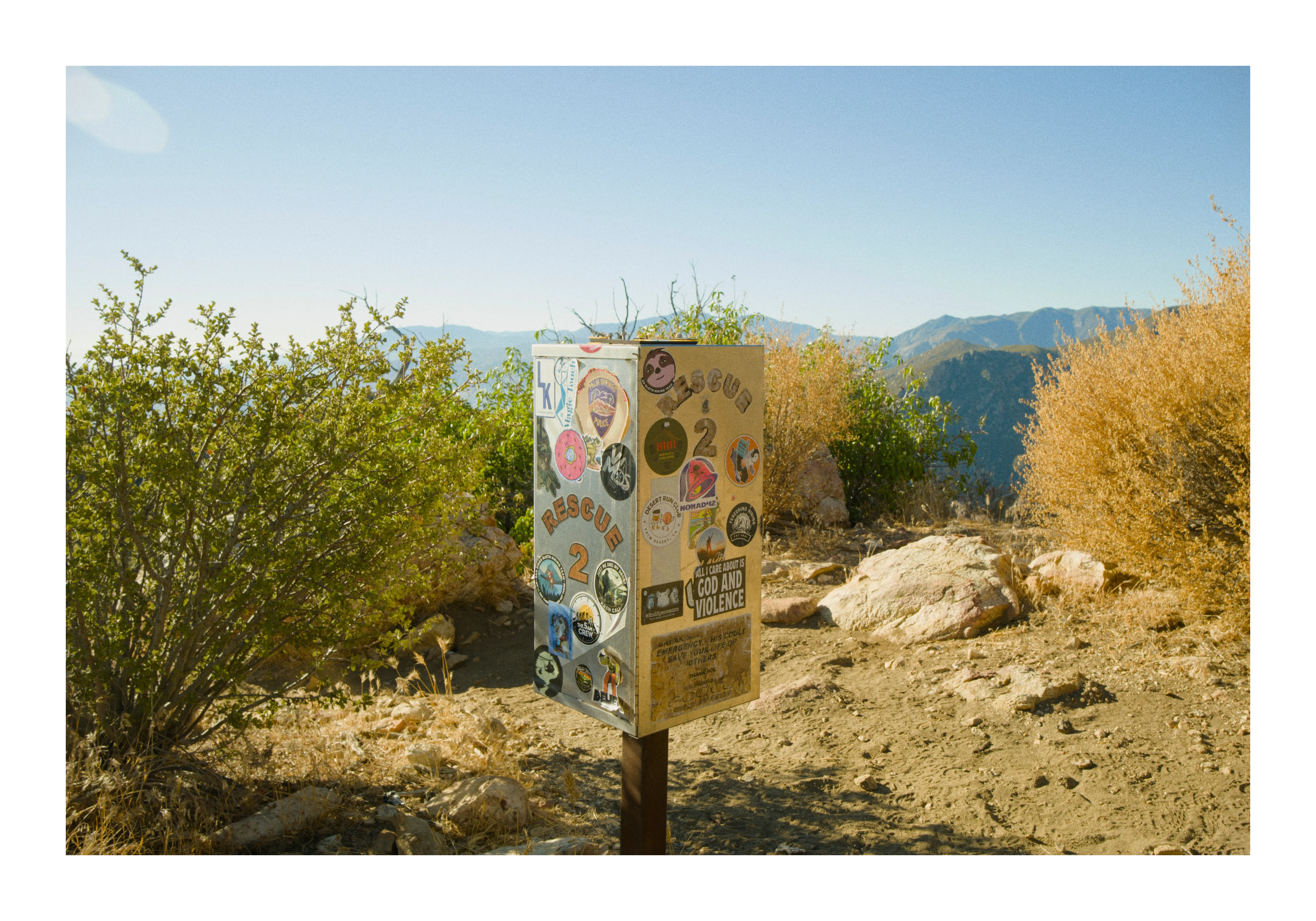 Rescue 2 trailside box, that was basically empty
The Reckoning
The first red flag that we had was how long it took us to get to the second box. My friend’s Strava had clocked him at 8 miles, despite us being 5.5 miles from the trailhead, so that was super confusing. And the second, was when we went the wrong way, and started climbing over super steep rocks. It gave us a pretty awesome view of the hike, but also ended up wasting about 20 minutes of time and effort. To be honest the temperature was not too much of an issue, as it was pretty cool at night, and halfway up as the sun was still rising, it felt like it was in the mid 70s or so at around 5000 feet of elevation mark. Our pace being a lot slower than anticipated meant we were burning through our water and snacks a lot faster than we wanted.
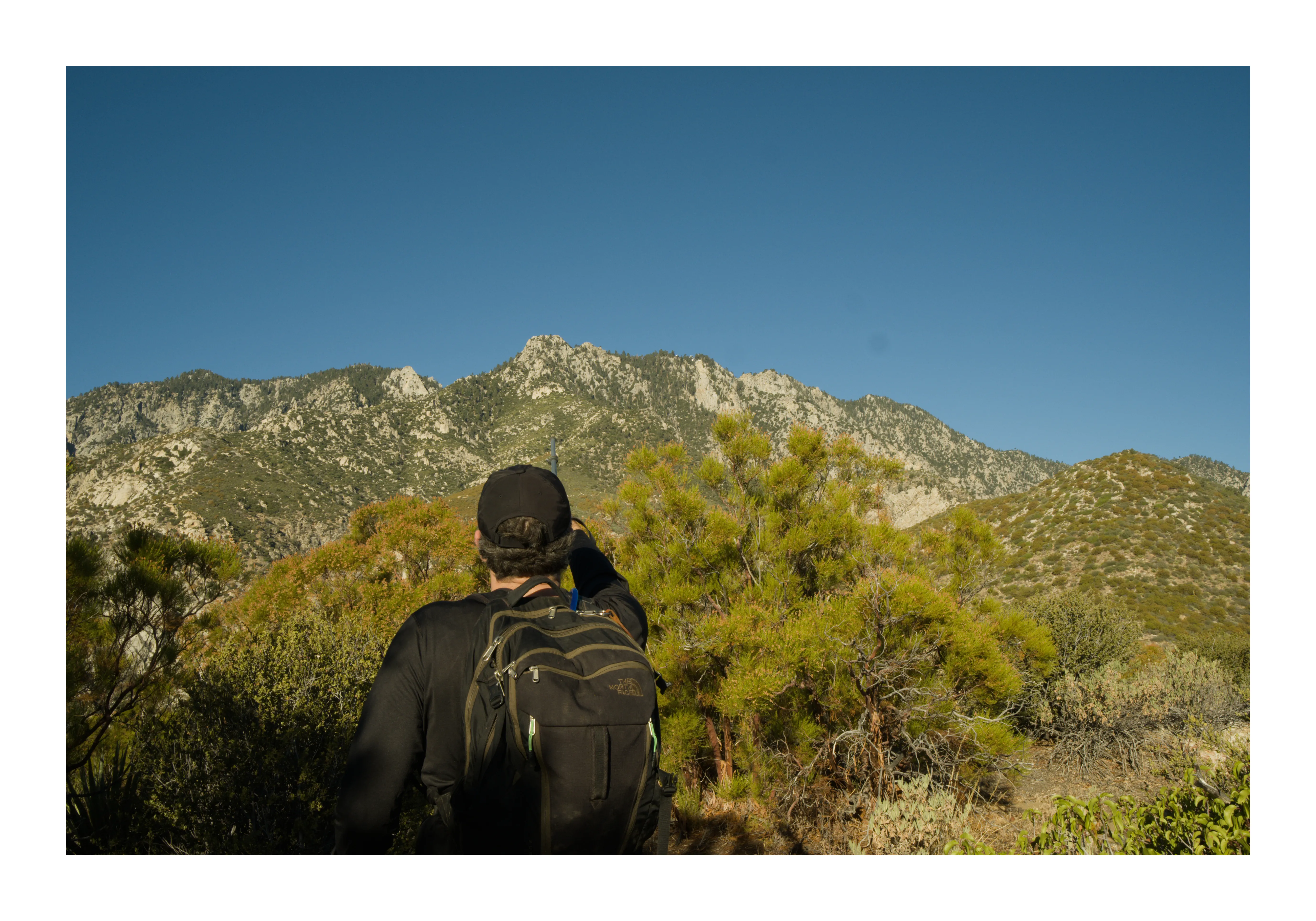 Us pointing at how much more we needed to climb to get to Long Valley
And to make matters worse, while documenting and vlogging through our struggles, my camera fell off the tripod I was holding from about 3 feet up, and slammed into a rock on the trail. I tried turning it on, but the camera was good as dead, and not functioning properly. It was my beloved Fujifilm X-T4, and the reason this website even exists. To say the least, I was devastated, and also really sad I couldn’t properly document the hike because content ya know. Also, I was not 100% sure if all the earlier footage would still be accessible, but luckily that was salvaged. The vibe of the hike all of a sudden took a big turn. I became mute for a while, processing that my prized possession was probably done for. From here on we really only talked about the status of the hike, and this is when we realized we were running out of water.
Pain
Caleb, on the other hand, had it a lot worse than me. He had graciously given me some water earlier on in the hike since he had packed a little more, and was getting towards the end of what he was holding onto. He was also hung up on how the Strava map had sort of betrayed us, and led us to believe we were a lot closer than we thought.
We ended up calling the ranger station just to get a gauge of how much further we had to go. They didn’t seem worried at all, so that was reassuring. It’s funny, since at that juncture, we were still less than half the mileage needed to complete the hike. To say the least, the next 2 hours were the most painful, but also some of the most beautiful. We had amazing views of the valley, seeing all of the wind turbines, and the trees that surrounded us cooled us down, and wowed us with some of the largest pinecones I’ve ever seen in my life.
Eventually, we were able to make it to the top, well, the top of the first mountain. Funny enough, we had this old couple who were watching us struggle up that last stretch start applauding us, which was a really nice feeling. We had reached where the tram goes, and where we would eventually end our journey back down.
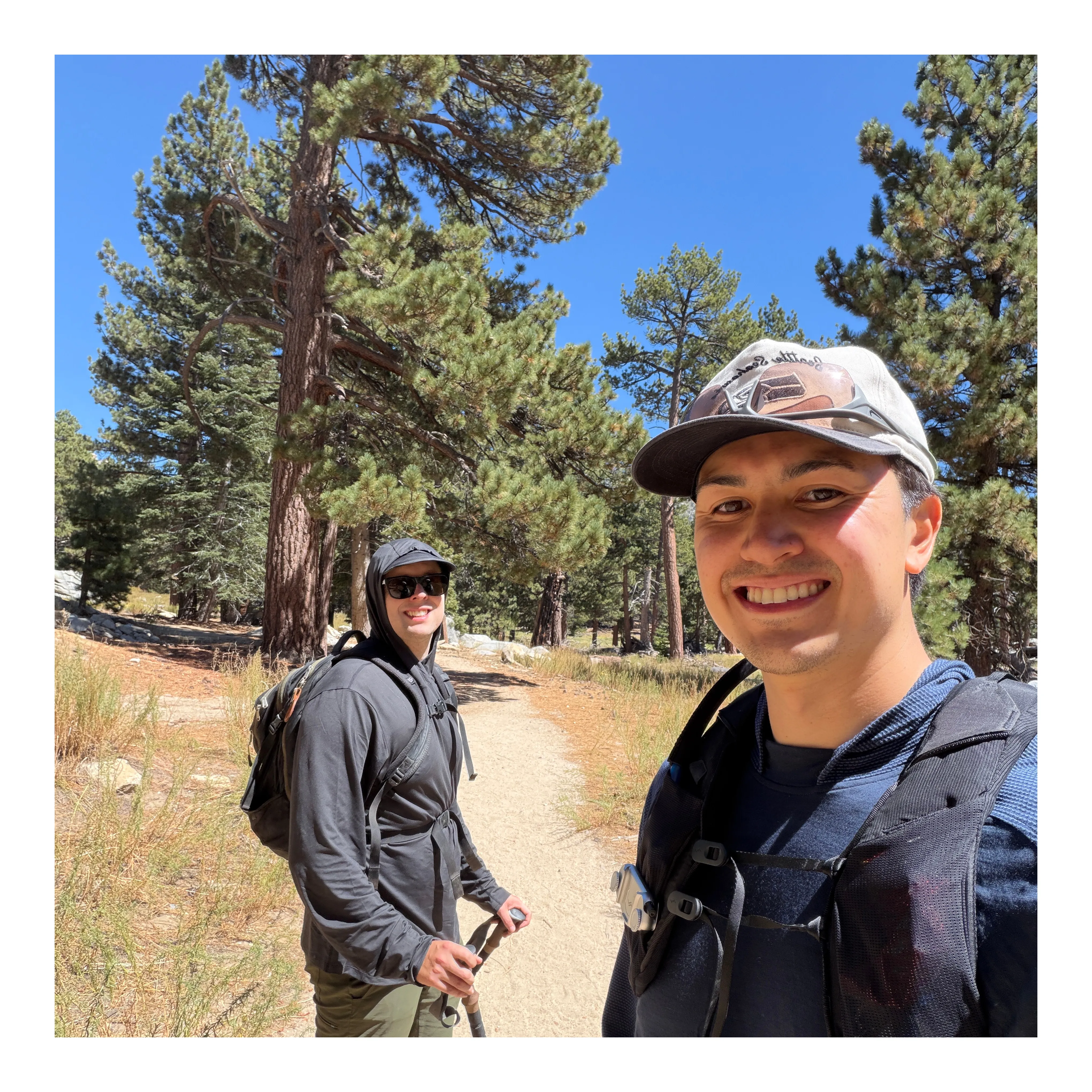 Our celebratory selfie for finishing pt.1 of the hike
Caleb, I could tell, his body was not feeling right. He was suffering from dehydration, and some stomach pain. We eventually got to the ranger station, and the rangers were super helpful and friendly. I could tell one of them looked concerned for my friend. He gave us some good advice for the second leg of the trip, which was a 11 mile, 2400 feet of elevation climb to the peak of San Jacinto. He told us guage how you feel at the Wellman Divide, and from there you can decide if you want to make the climb to the peak.
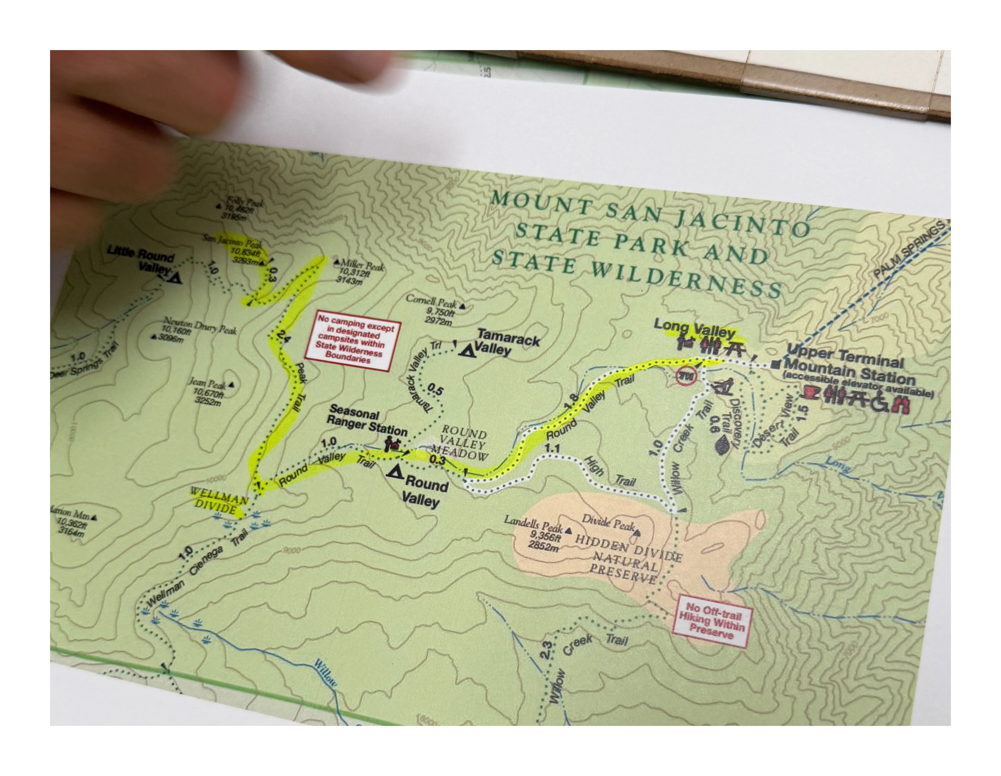 Trail map of the second leg of the hike to the peak of San Jacinto Mountain
After about close to an hour chilling at the station and aggressively rehydrating on the hose water (use the water fountain instead) which tasted like straight rubber, we wanted to give it a go to the top. Caleb was doing better, but I could tell he lost that pep in his step. I felt so bad for him, because we both wanted to do this hike so desperately. But luckily he lives out in LA, so he has the opportunity to return at an even better time, also knowing that he completed the hardest part, about 10 miles and 8k feet of elevation which sounds so insane to say.
Enlightenment
I told him I really wanted to go, but felt really bad about leaving him. He told me to get this shit done, and I said I would do this for him. For the next 2 hours, I don’t think I’ve moved faster up a mountain. I felt pretty energized still, and I was motivated to get some good food after. The next 6 miles were a lot of fun, and half way through, the Wellman Divide was worth a stop. The next 3 miles I basically did one big traverse up the final mountain, climbed some rocks, and I was at the peak! There was a crew of a few other people laying out and chilling. They started clapping and cheering, and I was like wait what, for me? I told them I came all the way from Palm Springs and they were so supportive of the hike. We chatted for a little before snapping this photo about 14 hours into the hike, and then headed down.
The way down was a different story. I wanted to be done ASAP. The sun was coming down, it was getting a little chilly, and it was all downhill. My bad knees HATE the downhill. Luckily, my poles acted like vaults every time there was a rock or steps to go down, and I was cutting through some of the switchbacks to save time. With about 3 miles to go I think this was when I had reached my limit. I started feeling the fatigue of my close to 16 hours of hiking, lack of sleep, and drinking the rubber flavored water. Plus my right knee started hurting, and I badly had to use the restroom (that was the worst part). Through using Jedi mind tricks on myself I was able to get back to the ranger station, and on the tram without any accidents.
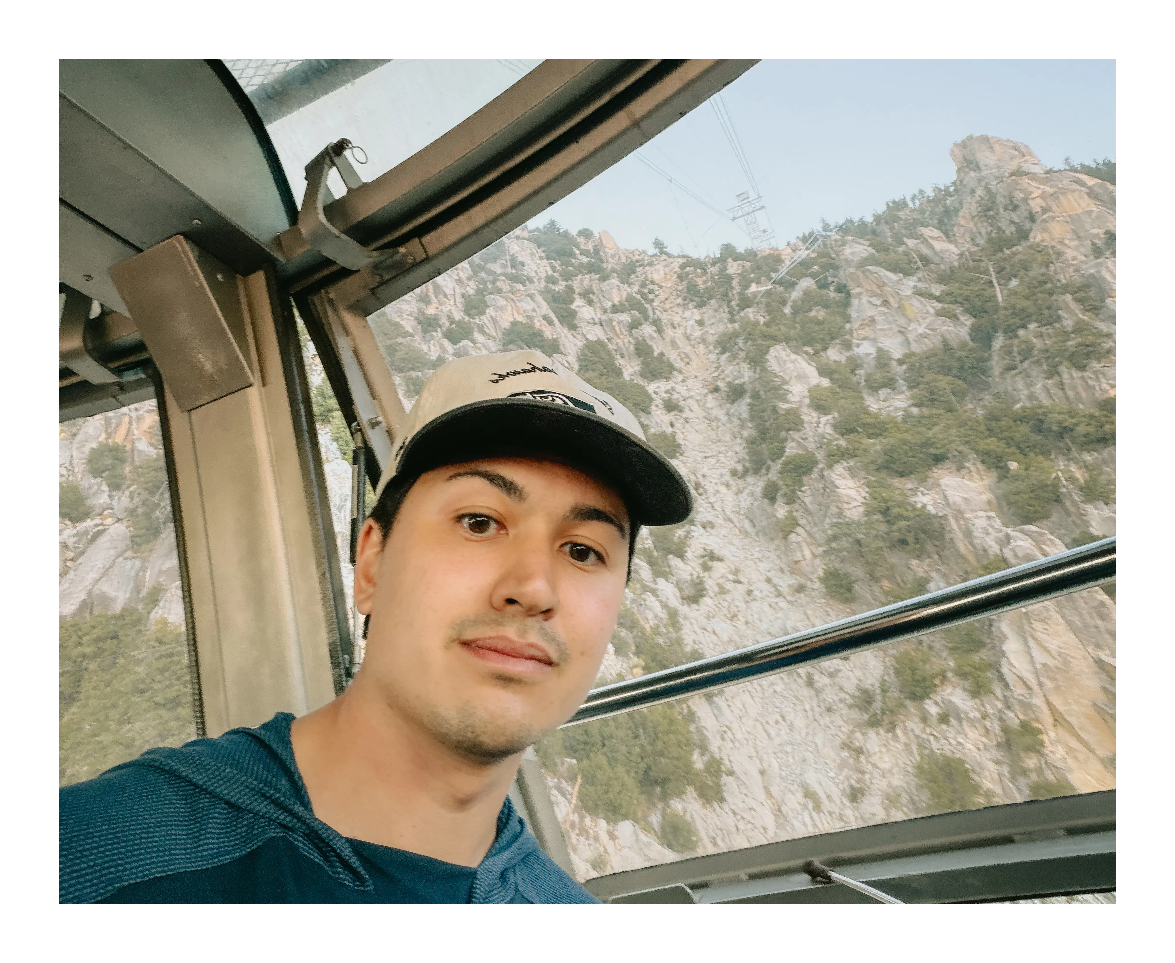 Pure bliss from finishing the hike, and riding the tram down
Once I got on the tram, and seeing the mountain I had just climbed, I started feeling a bit emotional. I had done all that! I had made it up all that mountain in a day, it was crazy, because it looked so large as I went down. And the tram was a vibe, it was such a retro feeling, as they played classics like Sweet Caroline, and the conductor was having us sing along, the platform spun in a 360, and we would all yell in harmony whenever the tram car bounced after going past one of the support towers. It was really a perfect way to end the hike. I think with enough preparation, most people can accomplish this hike. It was an incredible feeling, and there are so many amazing things we can achieve if we set our minds to do it.
What we would do differently
Most of what we did, I think we did a great job, especially for our first time. We emphasized safety, ensured we had enough food / liquids, and started early. What could have been improved upon was probably getting a little more sleep. We only got about 3 hours, or at least I did. Apparently I snored a bit, which didn’t help my friend out. Second, avoiding spicy food, and carb-loading up. We got some Thai food, and Caleb ended up getting a little bit of diarrhea which might have explained his dehydration. And I only arrived in Palm Springs the day before, but an extra day of heat acclimation would have been really helpful. But overall, it was a great time, and a memory I will never forget. Hope this inspires you for your next big hike or adventure!
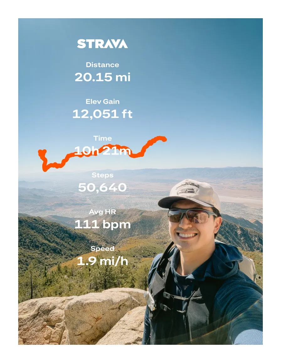 Strava stats for the hike: 20.15 miles, 12,051 ft of elevation gain, 10h 21m, 50,640 steps